Friday, August 27, 2004

Slave River, NWT - Canada


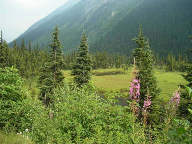
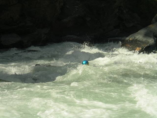
Molly's Nipple rapid at the Slave River. August 18th - 24th 2004, Michelle and I drove the ultra long (14 + 3 hrs) stretch of road between our home in Calgary and Ft Smith. This was my second trip to the Slave and water levels were about the same as in early August 2002. However on this later trip the days were becoming shorter the nights were a lot more chilly, which also meant no bugs! Although the Slave comes in as early as June, the bugs are beyond the comprehension of most people who haven't experienced life in the North. Beware in June and July! 

We left from Edmonton at 4am the next morning and rallied direct, stopping for a brief reunion at Alexandra Falls on the AB/NWT border with Almut Sohn and her two other German paddling friends. Germans were probably the most represented paddlers this year at the Slave. Despite it's reputation of having some of the most concentrated playspots anywhere, the Slave remained mostly free of camera toting big wave dwellers. Our other German friends included filmmaker Olaf Obsommer and Jens Klatt. Back after his source-to-sea Stikine River descent in 2002/03, Olaf is now documenting a broader range of western Canadian river and lake systems in his forthcoming film. We were fortunate to also meet up with Jesse Stone, John Fullbright and Yellowbird from New Mexico. A group of friendly Americans who always deserve a bout of regard for the monster road trip one needs to put together for coming to this place from the South.

   
Outrageous. 

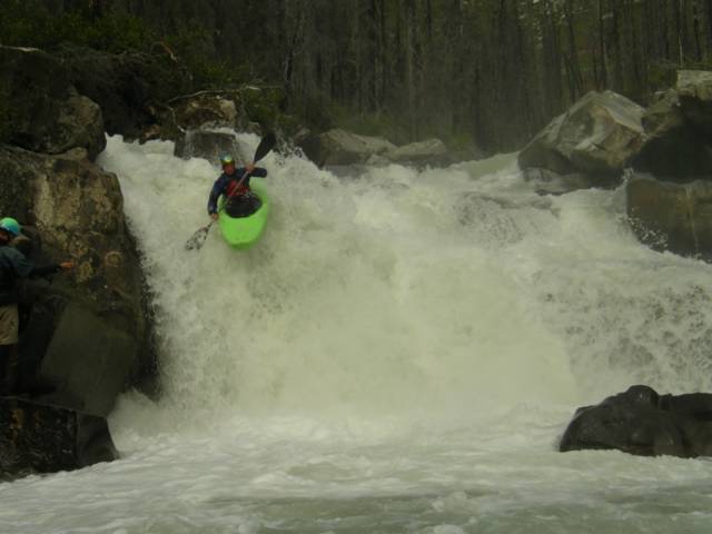
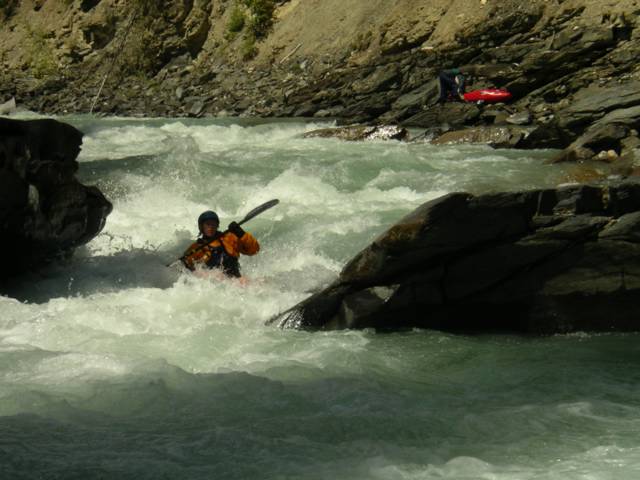
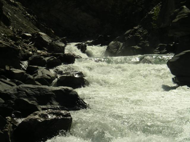
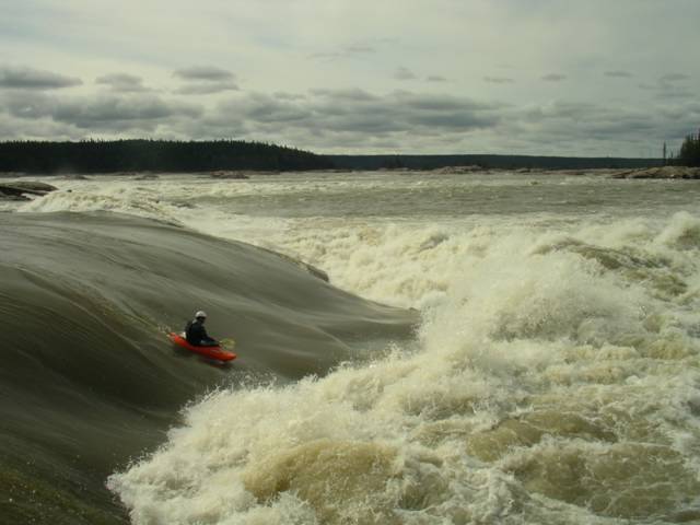
Anyways here is a shot of me on Roller Coaster at 3900 cms on the Ft. Fitzgerald gauge. The Slave is a majestical place that will scare you and inspire you. For detailed information on the Slave's rapids, check out Keith Morrison's amazing website with interactive satellite photos. Keith is the best guide you can ever have on the mighty Slave. 

  
RollerCoaster Air  Flows: 3000 - 4000+ cms Flow Gauge: Slave River Gauge at Ft. Fitzgerald.

Sunday, August 08, 2004

North Fork Dore, BC - Canada


Dore Valley Posted by Hello

The North Fork of the Dore is a challenging technical class IV-V creek that will keep you busy all the way to the end. We rolled up the Dore Valley (about 20 km off of Hwy. 16 and 25 km from McBride B.C.) to the confluence of the South and North Fork runs in the evening. Camping is good at the confluence but watch out for the cows in the morning if you don't hear them rolling through in the night. Next morning we set off another 13 km or so up the North Fork road until once again there is a bridge crossing the river. If you are charging this one beware of the Gnasher, a lengthy technical line that sends you into a powerful maelstrom of white. Jordie and I looked at a possible entry above the river right pour over and then decided to go for it.........


Jordie M. boofin' the Gnasher river right Posted by Hello

The rest of the run maintains a constant gradient until the final 3 km which is even steeper. Overall the North Fork of the Dore is worth checking out on one of those hot summer days if you are in the area. 2hrs from Jasper AB, 3hrs from Clearwater B.C.

For more logistical information on the Dore, check out Spencer Cox's Kayakwest website.


Vis N. Dore River (V) i et større kart

Thursday, August 05, 2004

Toby Creek, BC - Canada

Toby Creek's infamous seven canyon run is one of the best runs in Southeastern B.C. Draining the Toby and Jumbo glaciers, this run explodes into unrunnable levels many times throughout the summer. It is predictably high when heavy snow pack and extreme heat collide so know your levels or prepare for a hike-out that is a story in-itself. A good time is in August and even into September.

Although I'm sure there actually are seven canyons you paddle through, I like to think of the river containing: #1. Class III-IV technical whitewater up until, #2. "Juniors", a class IV-IV+ pinch with a revealing undercut ledge river-right.


Heather Armitage and the undercut before "juniors" Posted by Hello

After "juniors", the river picks up until the class V crux canyon containing #3. "Smitty's" and a NEW slide drop rapid (spring 2004) which leads up to "picket fences." If you are on the Toby at high flows this section will either be heaven or hell.


Looking upstream to the new slide drop and the entrance of "picket fences" Posted by Hello


Jordie's sparkly helmet amidst the "Picket Fences" Posted by Hello

Just before you think it is over, #4 the seventh and final canyon has NOW CHANGED (spring 2004). This section is still long and constricted. Instead of the traditional river left scout, eddy out on the river right where a new gravel bar has formed to check this rapid out. Once you're through this the river flattens out.

Location: Invermere B.C. (road to Panorama Resort is put-in and take-out)